Destination story · Photo story
A Climbing Day in the Ghost Starts Before the First Swing
21 photographs · Tap any image to explore the gallery.
The Ghost has long flowing ice routes, narrow canyons and steep pillars tucked into the limestone of the Rockies’ Front Range. It sits west of Calgary, close enough to draw climbers back throughout the winter, but a day here can start getting interesting well before anyone picks up an ice tool.
When I wrote about the Ghost for Gripped in 2016, the drive and the approach took up almost as much space as the climbing. That was deliberate. Getting to a route was part of the experience, and sometimes it was the part that decided how the day would go.
Before the first swing
In the original story, I wrote about getting my truck stuck in deep snowdrifts more times than I could remember. River crossings, snow and the condition of the road could turn a straightforward climbing plan into a much longer outing.
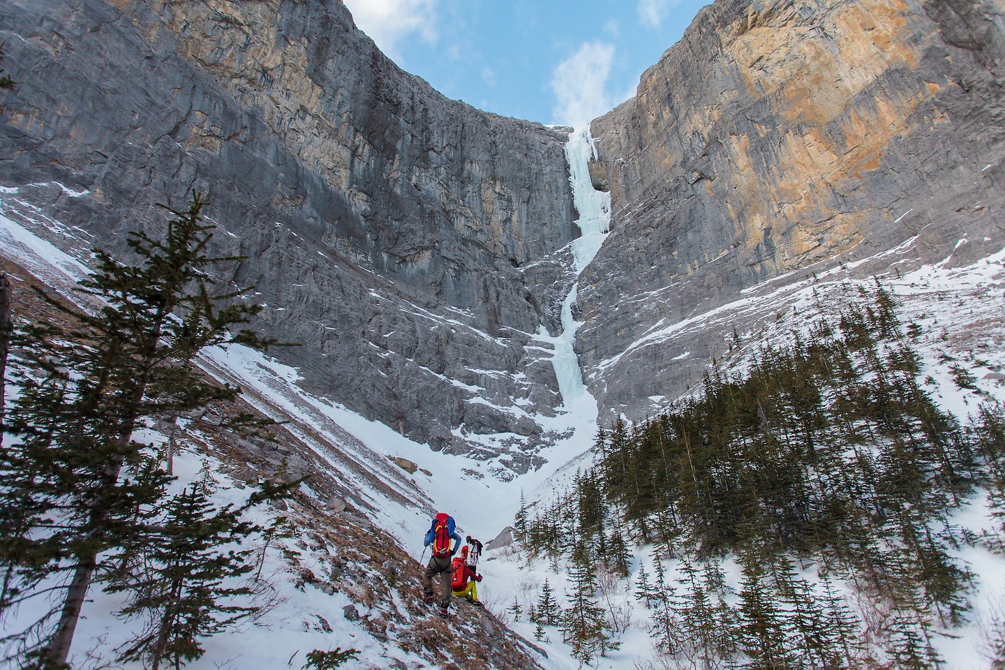
The photographs usually begin farther into the day. By then, the packs are on, the truck is out of sight and a line of ice is pulling everyone’s attention upward. It is easy to look at a picture of a climber on a pillar and miss everything that came before it.
That is part of what makes the Ghost memorable. The climbing belongs to a much larger day, with decisions about time, conditions and how far to commit before the rope comes out.
Three areas, plenty of possibilities
Ice climbers commonly divide the Ghost into the North Ghost, South Ghost and Waiparous. My original feature moved through all three, from long routes to shorter climbs and steep pillars.
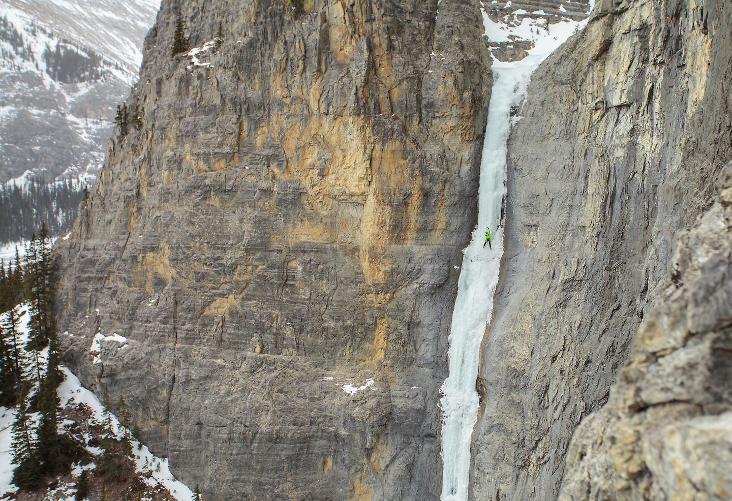
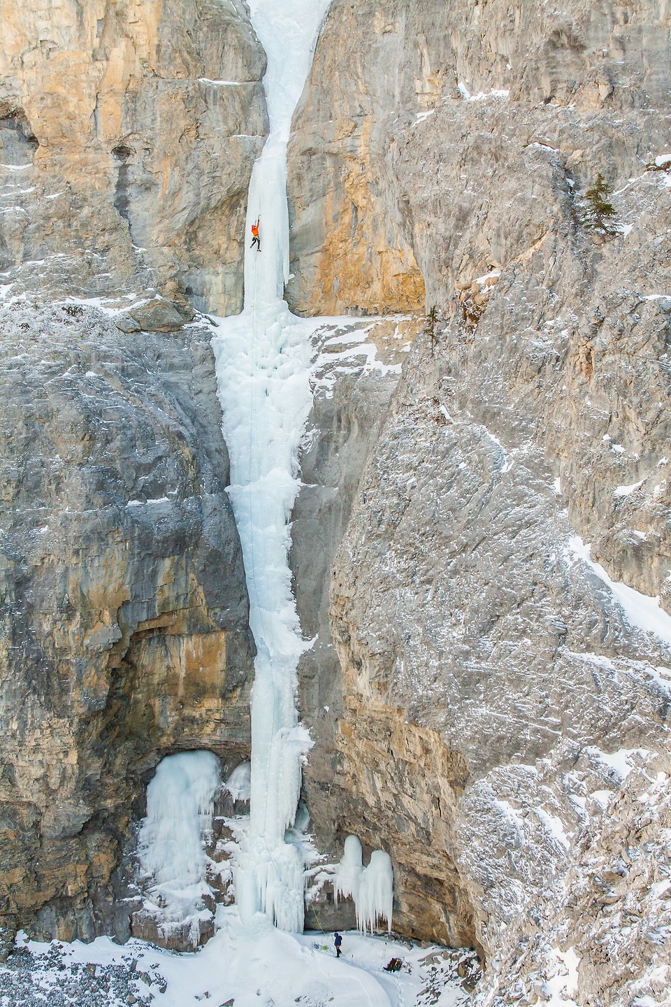
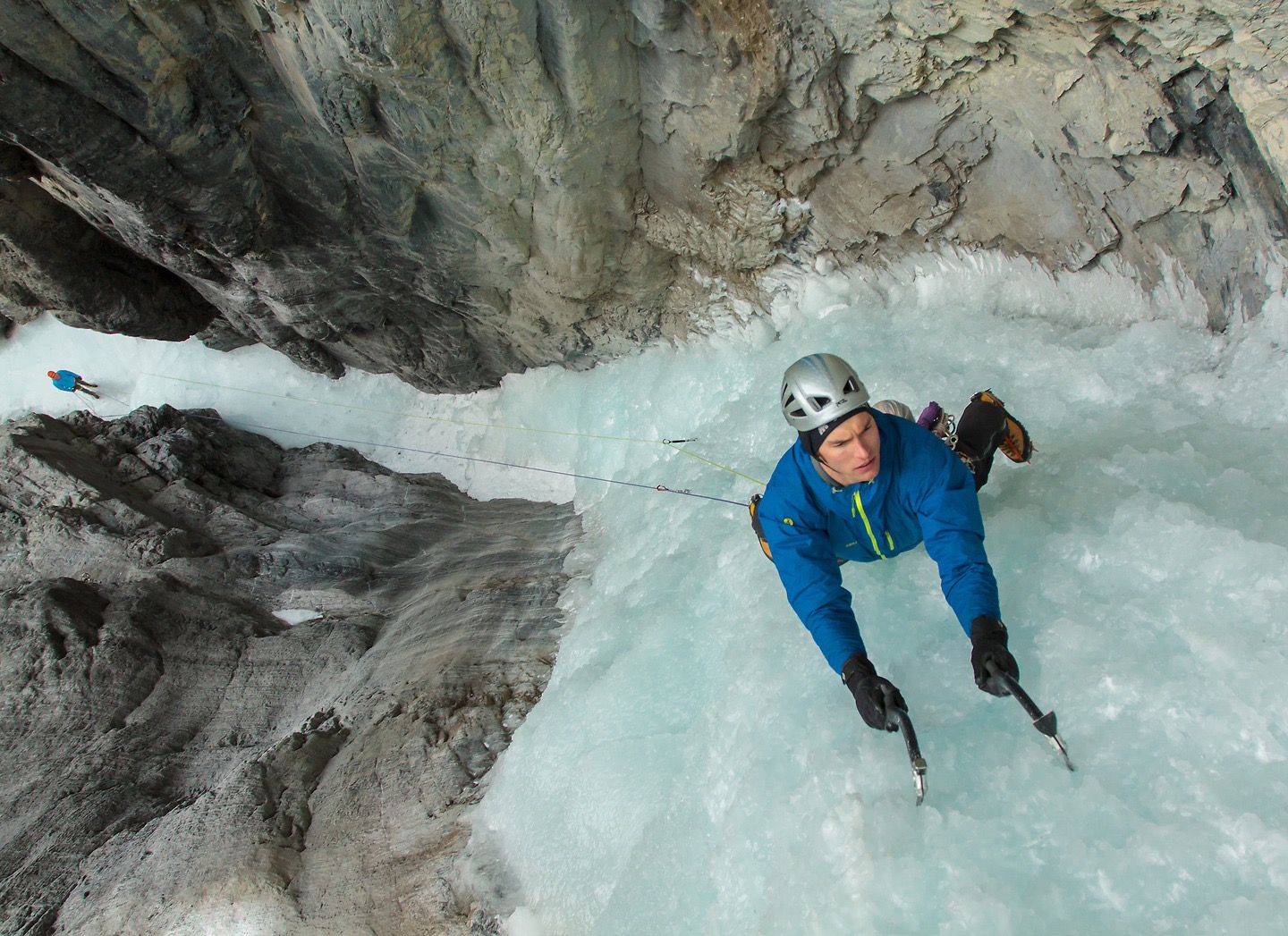
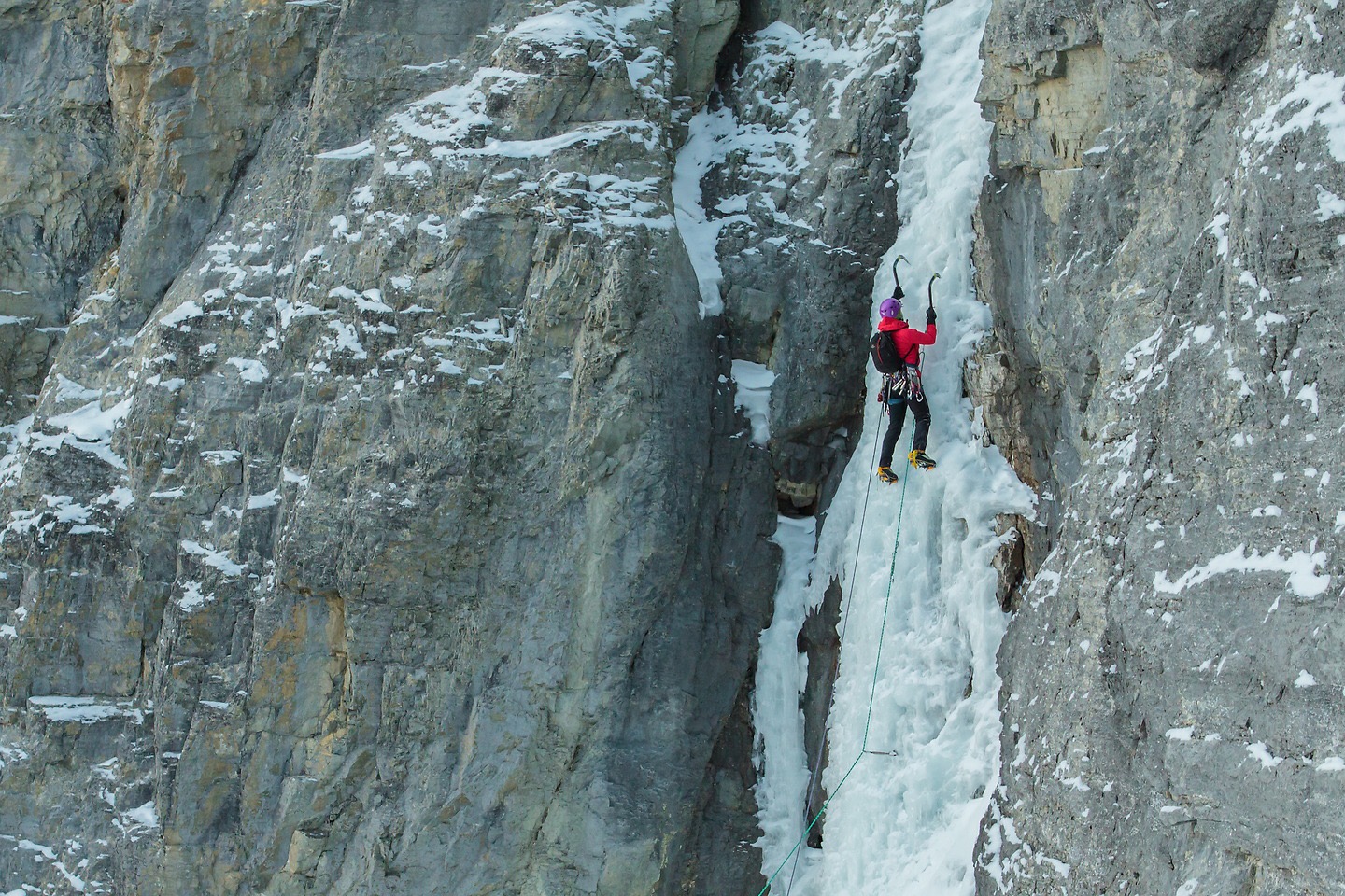
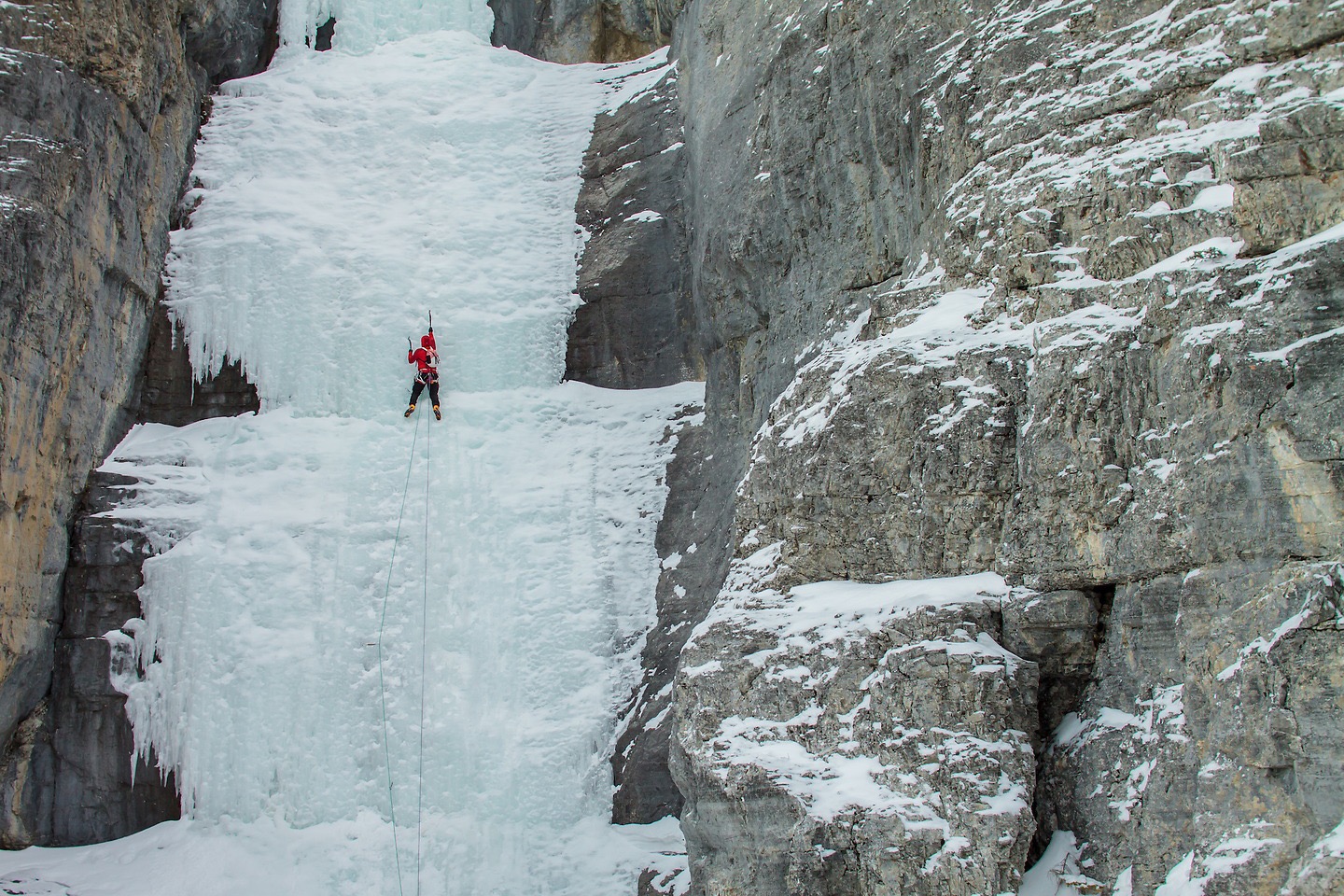
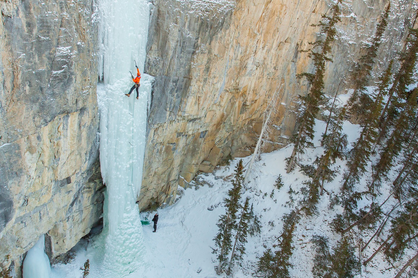
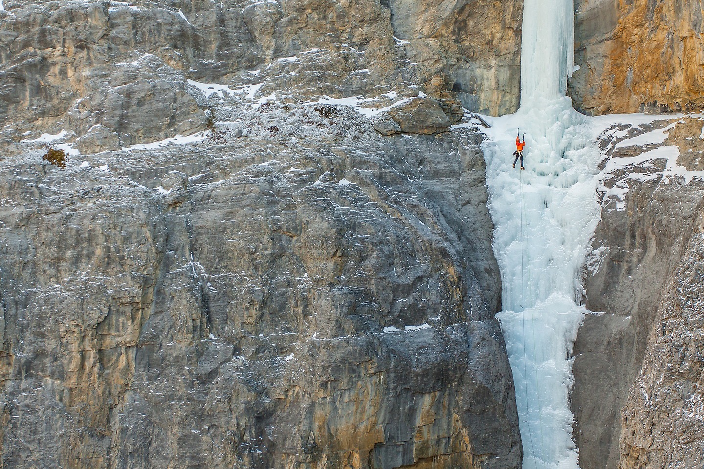
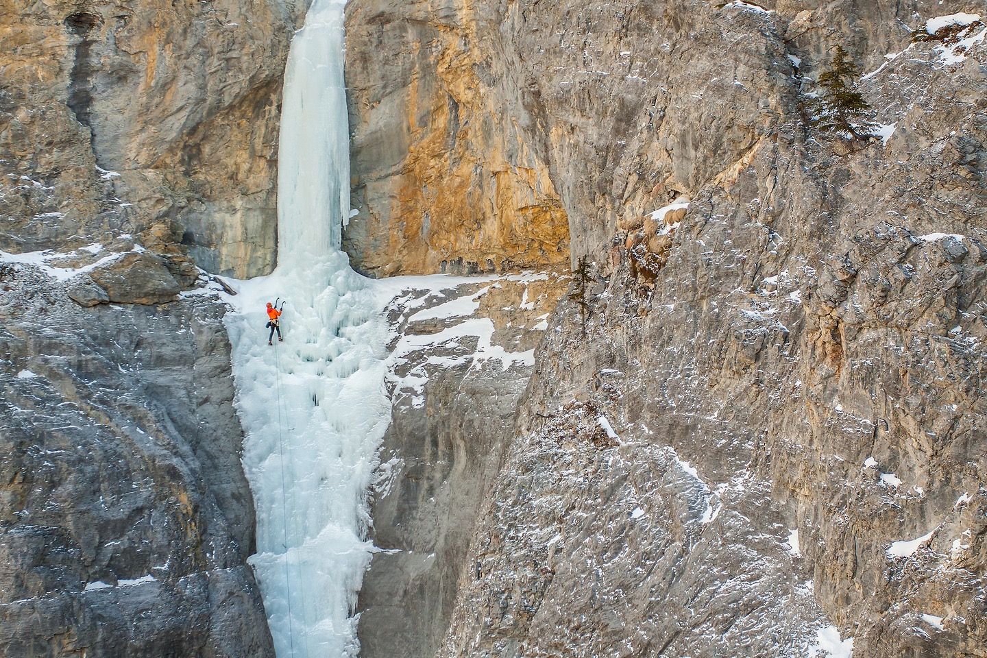
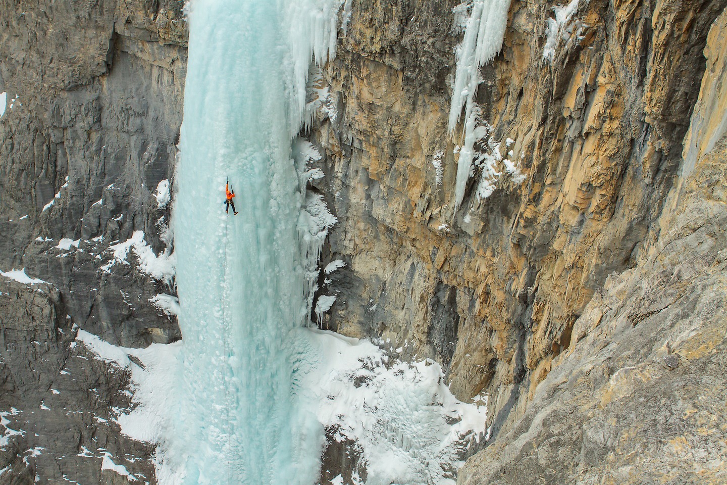
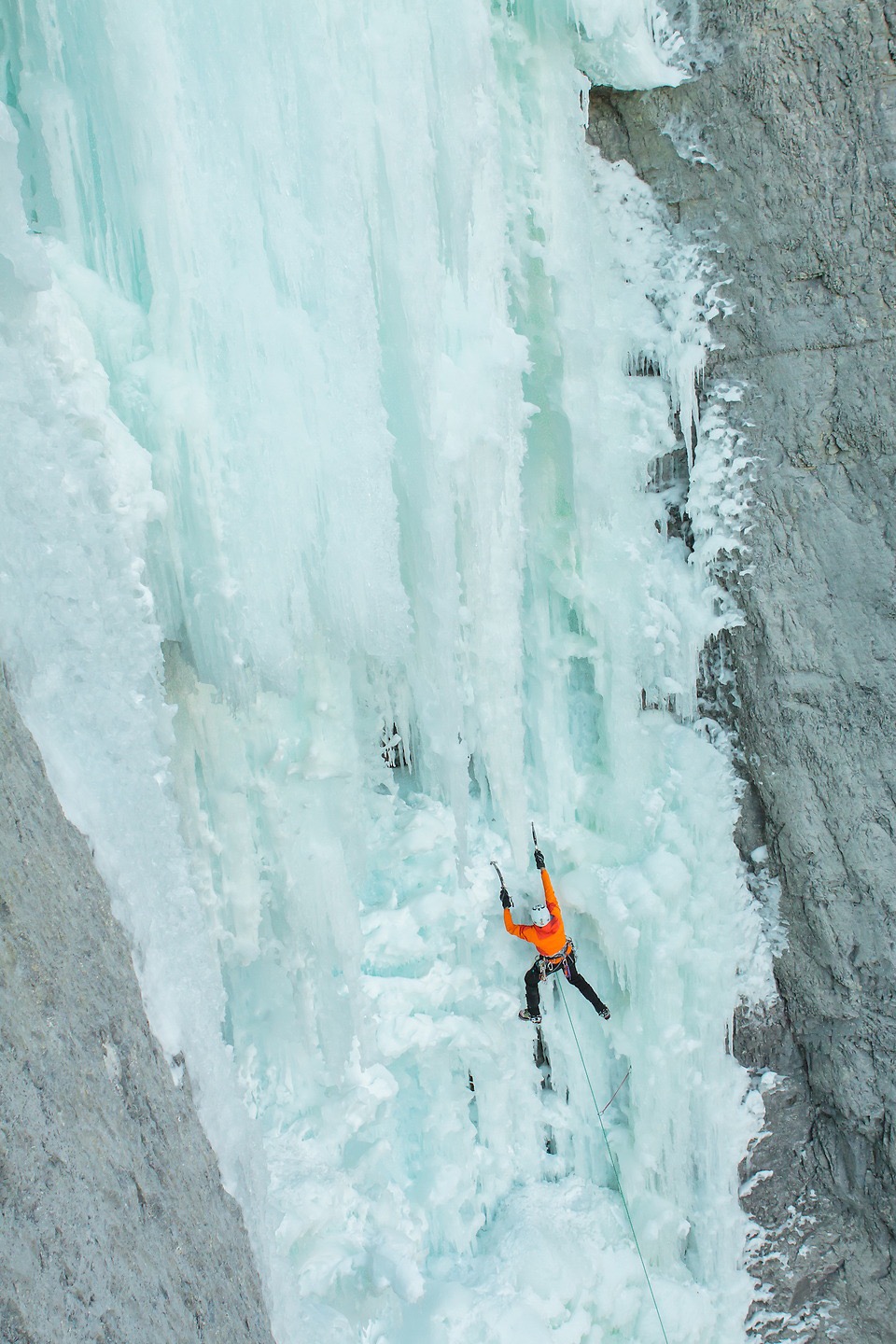
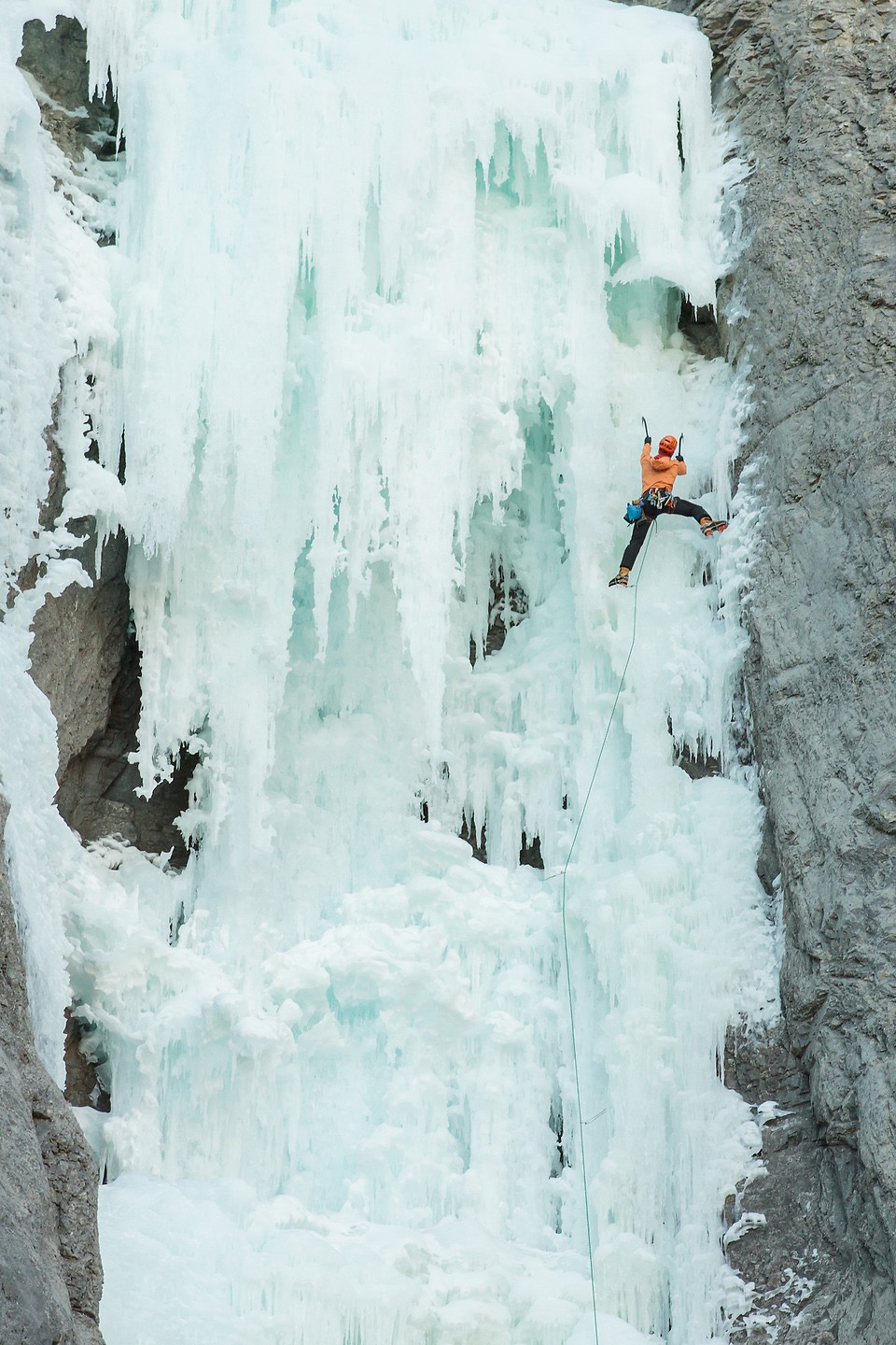
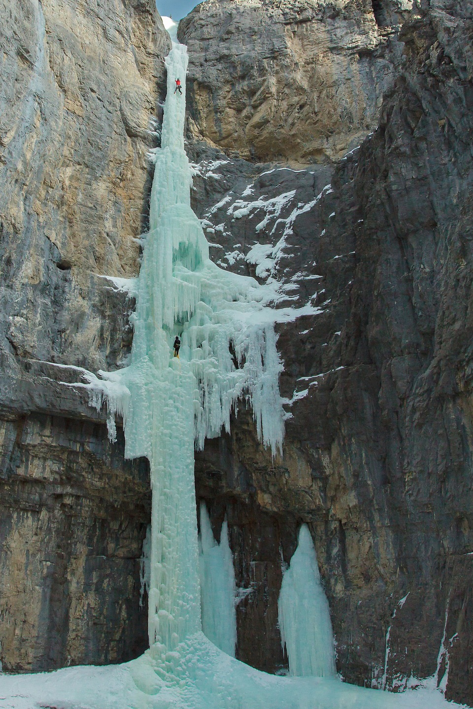
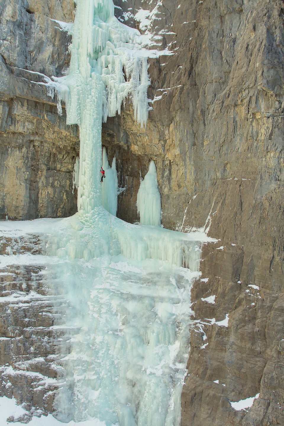
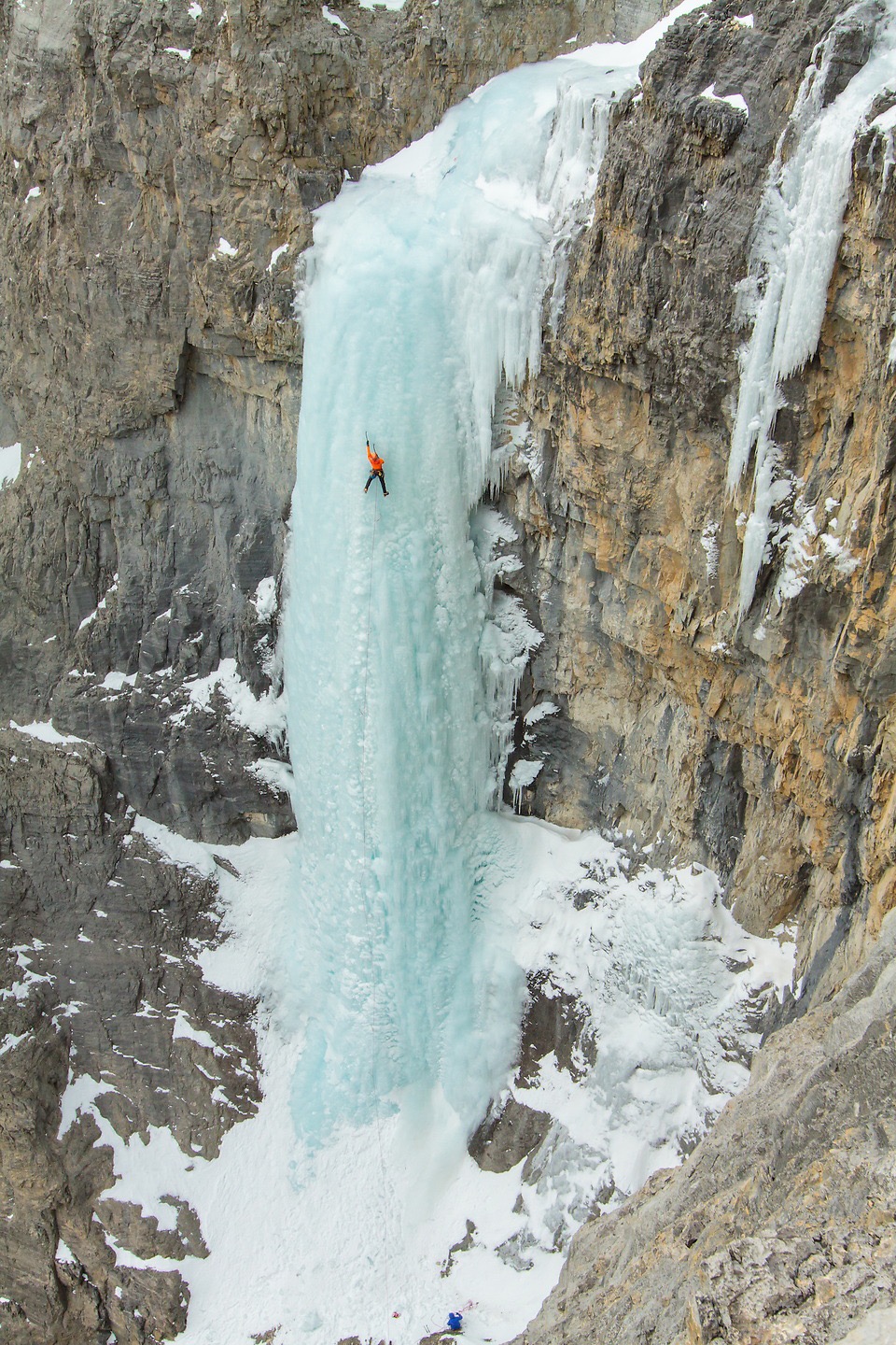
The variety was the reason for putting the story together. One photograph might be dominated by a broad limestone wall, with the climber reduced to a small patch of colour. Another might look down into a narrow channel, where the ice and rock fill the entire frame.
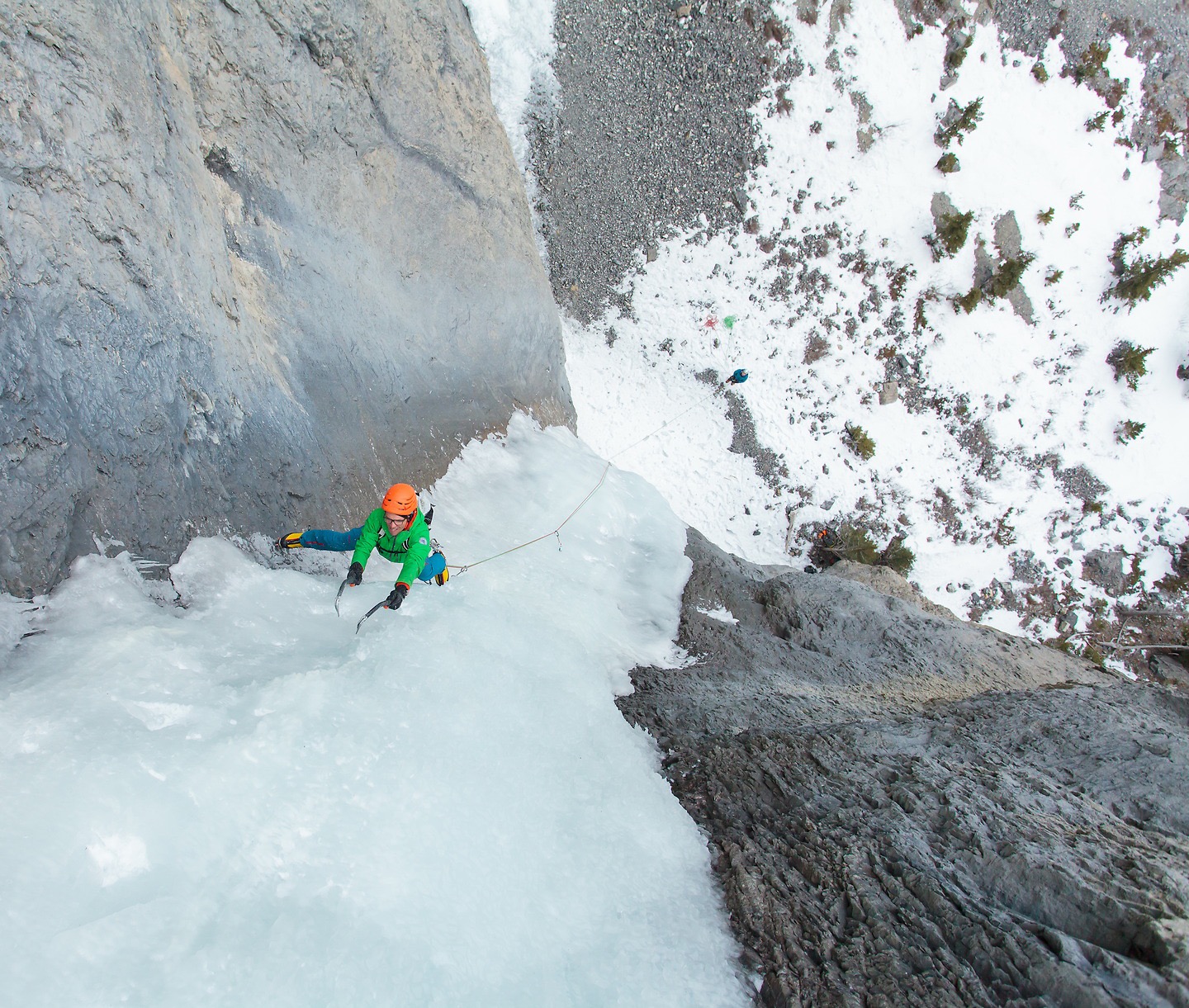
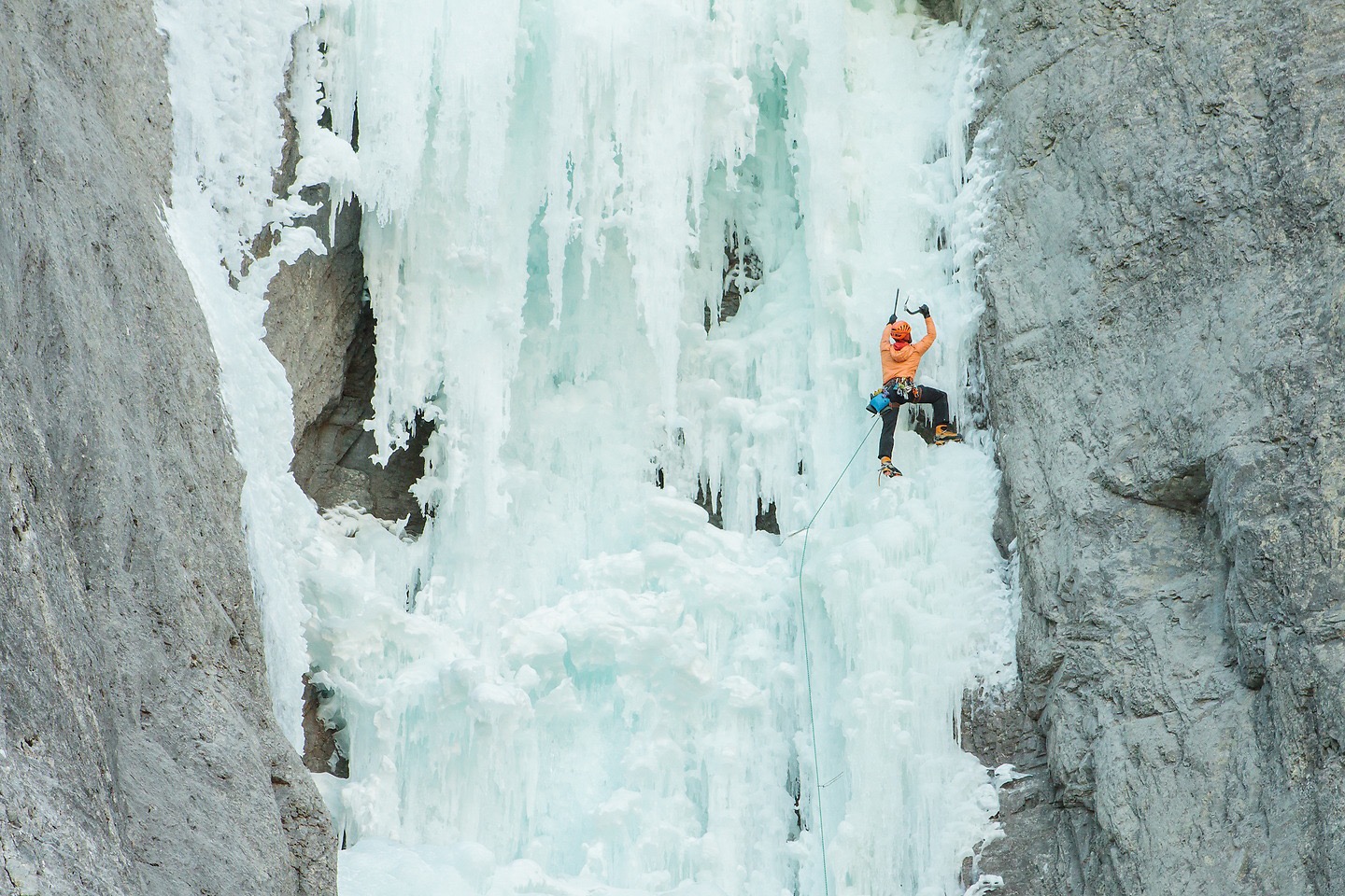
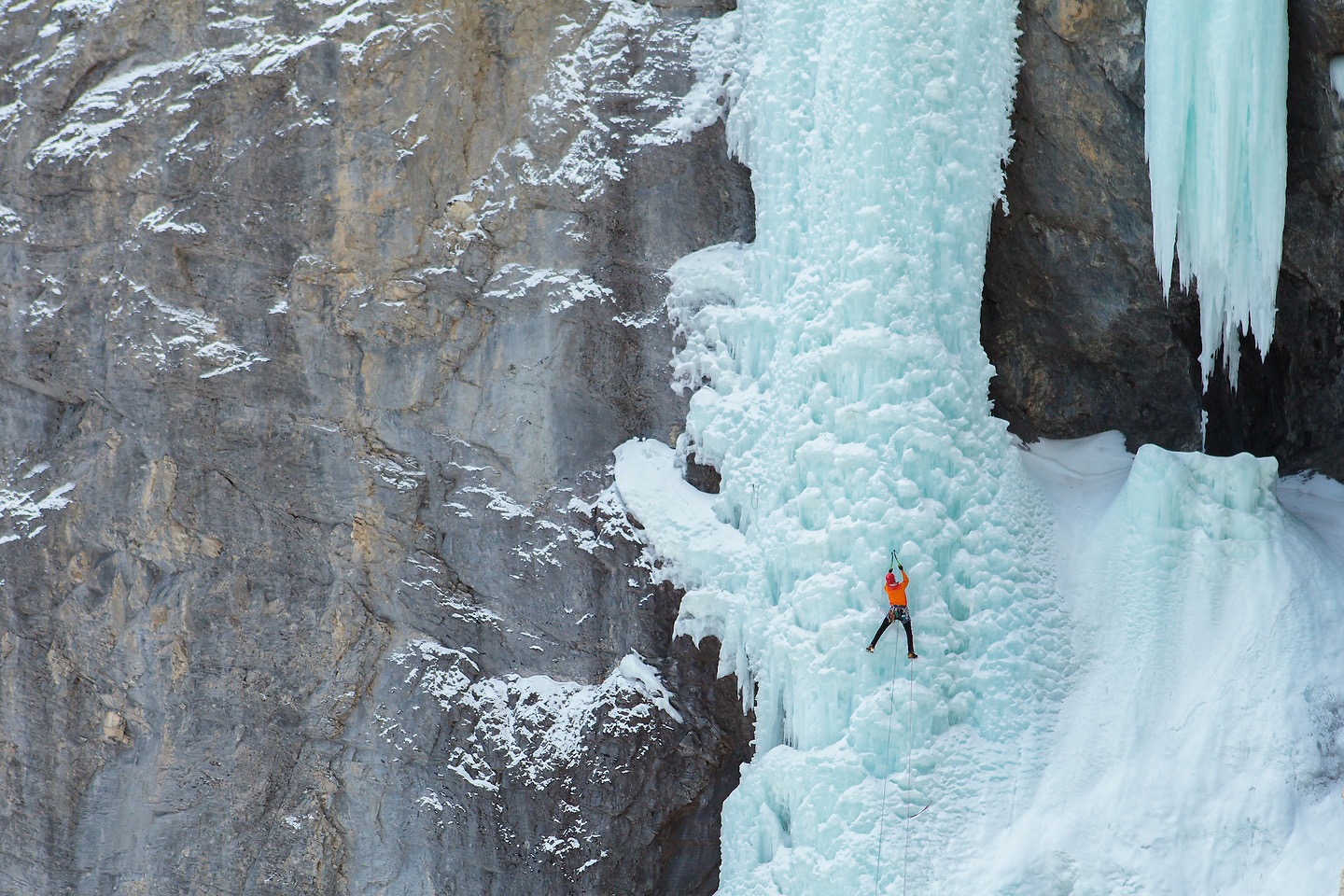
Those changes in scale are a big part of photographing here. The wide view explains where the climb sits. The closer image shows the shape of the ice and what the climber is doing with it.
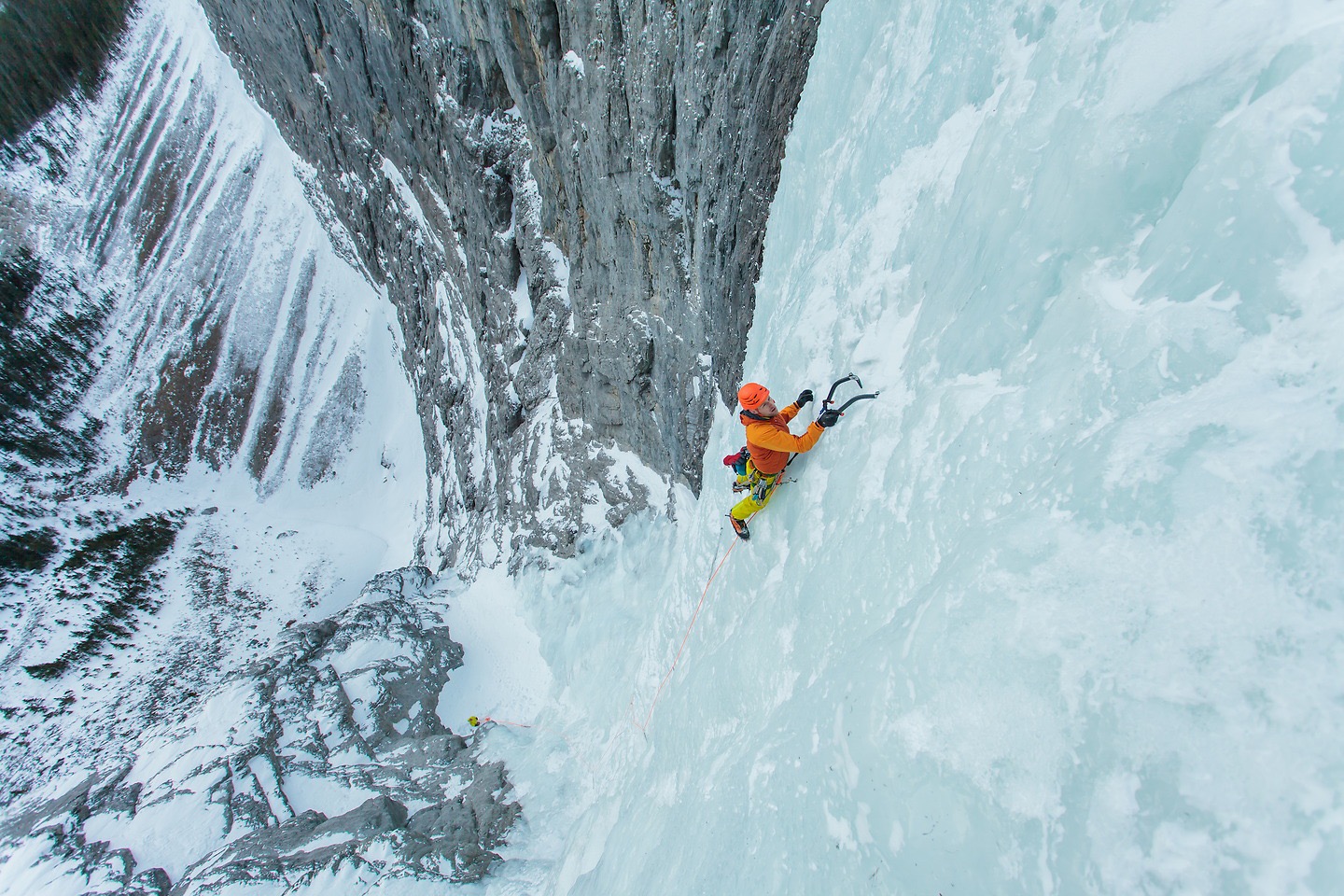
Sorcerer, Beowulf and Rainbow Serpent
Sorcerer was one of the standout routes in the 2016 story: a long climb in the North Ghost, with the hardest climbing saved for the upper part of the route. It was also the example I used when talking about popular objectives and the chances of finding another party ahead of you.
Beowulf offered a different kind of day. In the original manuscript, I compared parts of it to canyoneering in Utah. The interest came from moving through the terrain as much as from the steeper climbing, with easier ground linking the ice steps.
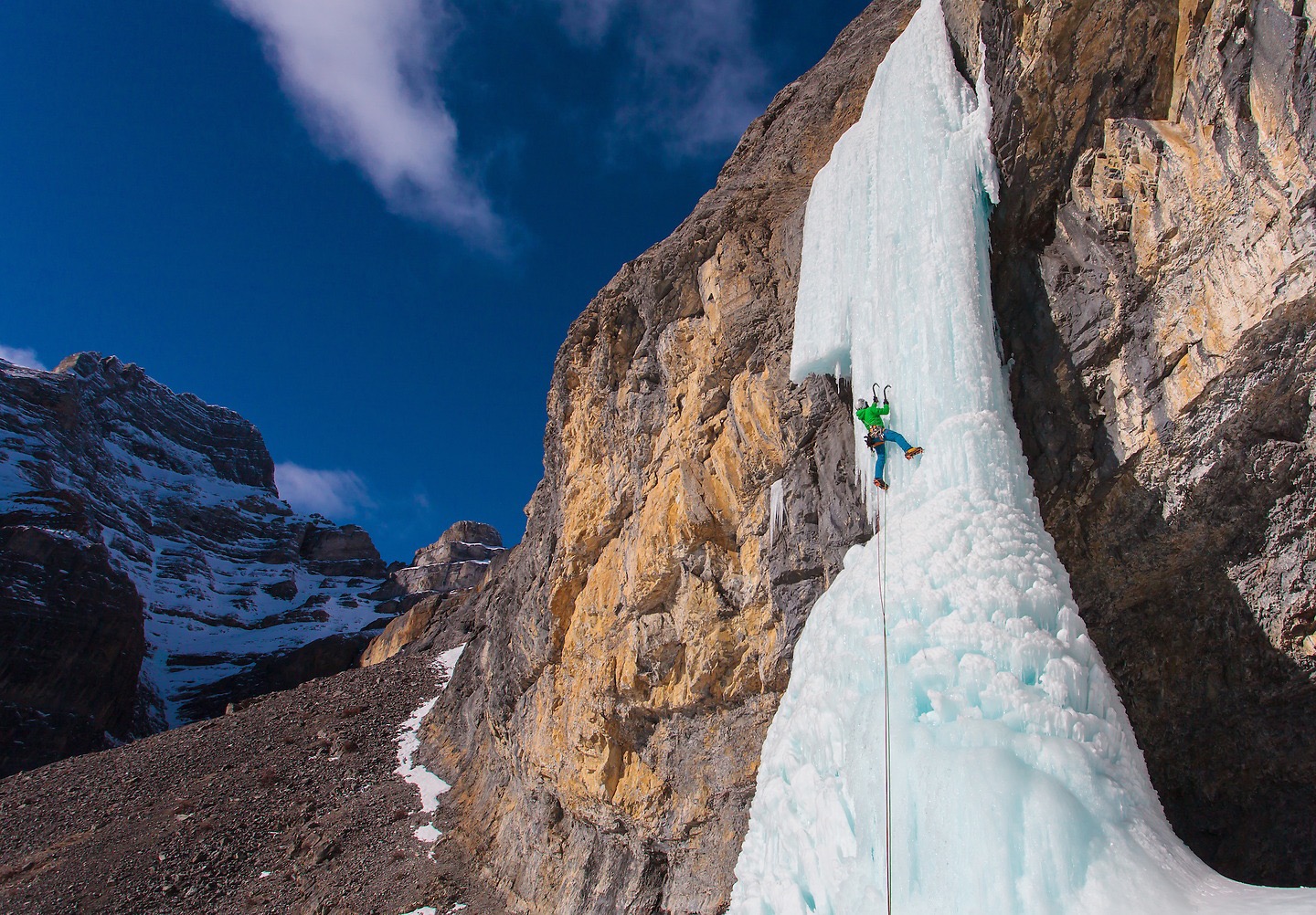
Rainbow Serpent brought the story into the Recital Hall in the South Ghost. The surrounding walls and the way the pillar reveals itself were central to that description. It was the sort of setting that needed a wider photograph as well as a close view of the climbing.
These are recollections from the original feature, not descriptions of how those routes are formed now. The photographs below are presented as a Ghost collection, rather than a route-by-route guide.
Sharing the day
The original article also spent time on other climbing parties. Some days felt quiet; on others, several groups could be heading toward the same objective. Having another idea in mind and communicating with the people around you mattered.
That practical side of the day belongs in the story alongside the climbing. A good photograph can make the ice look isolated, but the decisions behind it are usually shared with a partner, and sometimes with everyone else at the trailhead.
Ice against limestone
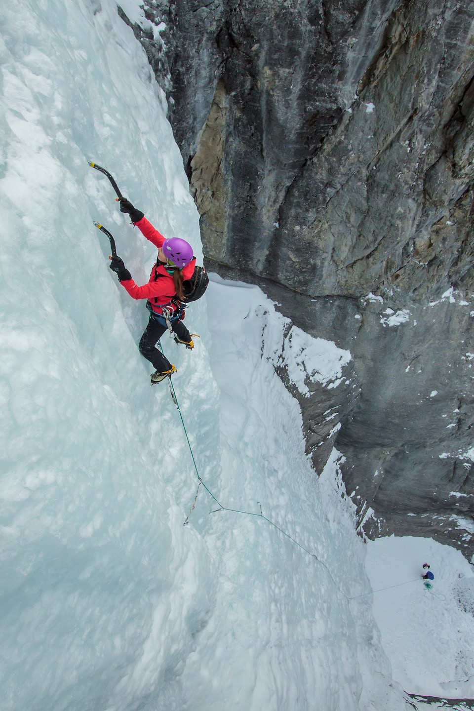
The contrast keeps drawing the eye: pale blue ice against grey and orange rock, a bright jacket on a large wall, or a rope leading down to a belayer far below. In these photographs, the wider frames and the close views tell different parts of the same story.
Taken together, they show why the Ghost deserved more than a list of climbs. The routes are the reason to go, but the setting and the whole day around them are what give the photographs their context.
Planning a visit
This photo story draws on my 2016 article. It is not a current access report, driving guide or route description. Historical road directions, seasonal vehicle-access dates and approach details have deliberately been left out.
Before a new trip, check the relevant land manager’s current access rules and advisories, the weather and avalanche information, and recent route conditions. An old photograph does not establish that a route is formed or that its approach is accessible or safe today.
Alberta: Ghost Public Land Use Zone ↗